Technology Leader | Remote Sensing & Reality Capture | AI Integration | AEC & Defense Innovation
I build and scale technology programs that connect advanced sensing, data automation, and practical problem solving. My career has focused on turning complex geospatial, imaging, and AI capabilities into tools that make teams more efficient, projects more accurate, and decisions better informed.
I work best where technology meets execution and where data, automation, and field operations intersect. Whether the challenge is integrating remote sensing into infrastructure development or bringing defense-grade reliability into commercial systems, I focus on connecting innovation to clear business results.
Colleagues describe me as collaborative, straightforward, and results oriented. I take a hands-on approach when needed. At the same time, I focus on building the structure, strategy, and teams that make innovation scalable. My background spans AI model development, drone and LiDAR operations, data management architecture, and program leadership across both regulated and commercial environments. Ultimately, what drives me is applying that experience to build solutions that last—systems and services that help organizations move faster, work smarter, and stay better equipped for what comes next.
Core Expertise / Skills Snapshot
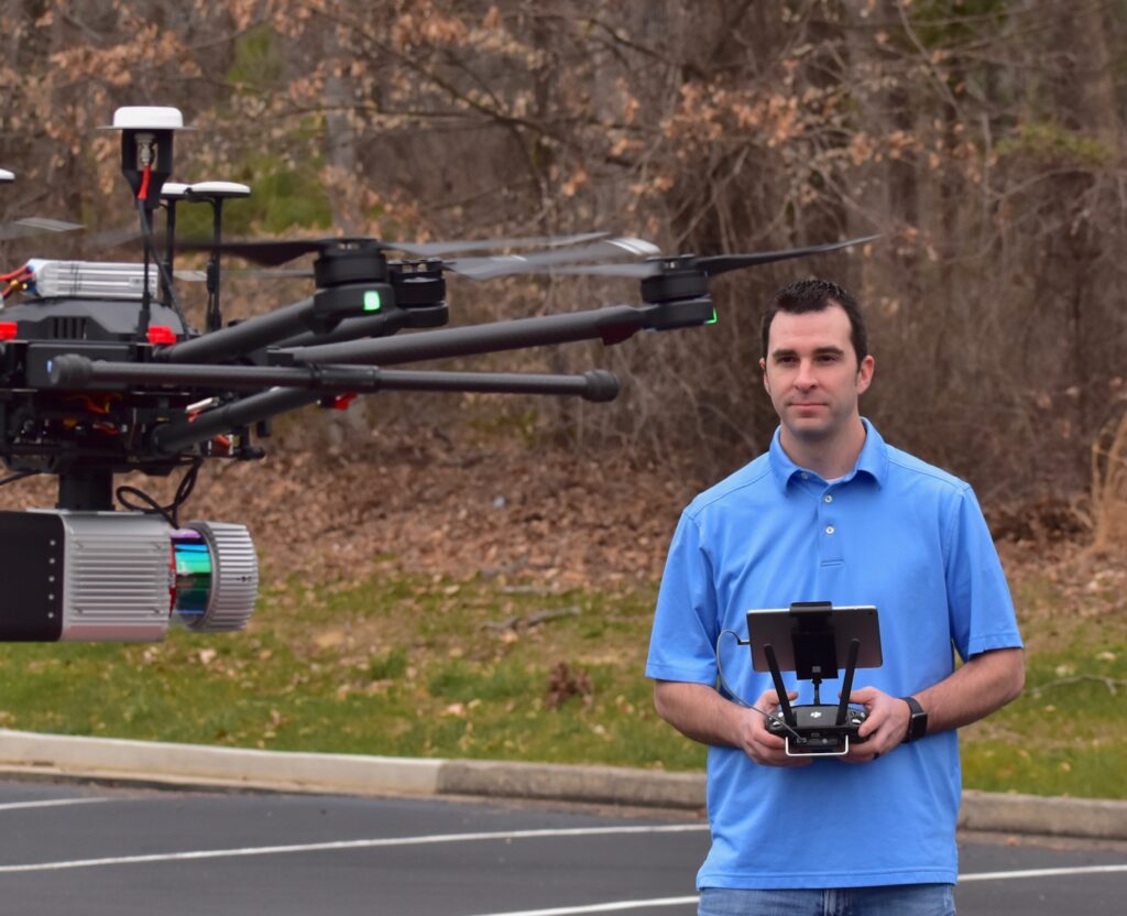
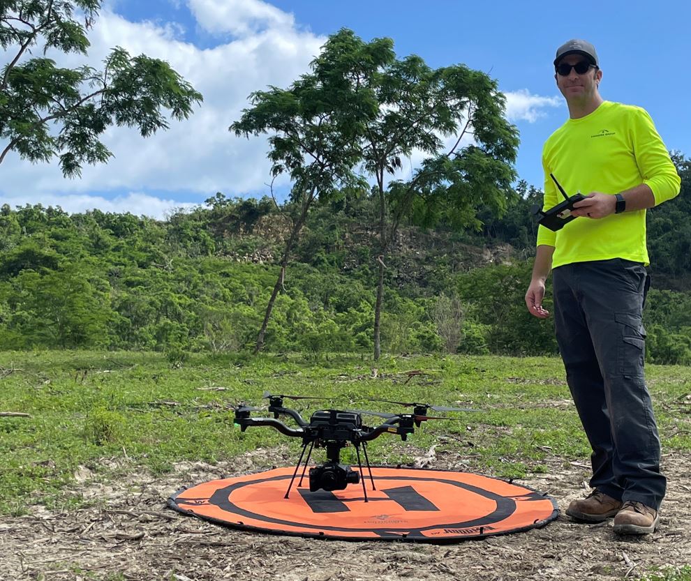
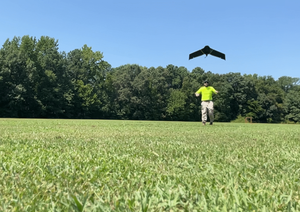
- Remote Sensing & LiDAR
- Drone Program Leadership
- FAA Part 107 / COA Operations
- Photogrammetry Mapping
- AI & Automation in Survey Workflows
- FAA & Regulatory Frameworks
- Geospatial Data Integration
- Public Infrastructure Projects
Aerial Platforms: DJI M600 Pro, DJI Phantom 4 Pro & RTK, DJI Inspire 1, DJI Inspire 2, DJI M300, Freefly Alta X, Astro, DJI Matrice 4E, eBee X, Velos Rotors Helicopter UAV
Sensors: RIEGL VUX-1UAV, RIEGL VUX-1LR, RIEGL VUX-1LR v22, Sony A7R IV, RGB & thermal payloads
Processing Tools: Pix4Dmapper, iTwin, DroneDeploy, Global Mapper, Leica Cyclone 3DR, ArcGIS Pro, RealWorks
Specialties: Photogrammetry, drone LiDAR, PPK/RTK workflows, GCP/QA/QC, AI-assisted classification
Publications
Research Gate: KPU-Net: Kernel Point Unet for 3D LiDAR Ground Segmentation
Blog Post: Why I still use ground control points with RTK
Professional Experience
Director of Innovation & Remote Sensing
Timmons Group (2021–2025)
Richmond & Newport News, VA
- Built a new drone LiDAR program from the ground up
- $800k revenue first year with 40%+ profit margins
- Led cross-sector innovation for DOT, AEC, and renewable energy clients
Director of Aerial Services
Draper Aden Associates (2017-2021)
Richmond & Newport News, VA
- Built a profitable aerial services division from the ground up, driving over $1.2M in annual recurring revenue and reducing field- to-finish time by up to 80%.
- Led data capture and compliance for 30+ airport obstruction surveys as well as large-scale mapping for utilities, transportation, and environmental clients.
- Advanced the firm’s aerial data capabilities to include infrared and thermal analysis for environmental and infrastructure diagnostics
Systems Integrator & Technical Lead
Cubic | Abraxas Corporation (2015-2016)
- Directed daily operations of a classified R&D lab and coordinated technical deliverables across contractor and federal teams.
- Designed and delivered two deployed data programs that transformed field collection and real-time analysis methods.
- Developed proof-of-concept real-time SLAM systems for GPS-denied environments using Velodyne LiDAR and inertial sensors.
- Implemented AWS-based architecture for secure pub/sub data dissemination (Lambda, DynamoDB, SNS), laying groundwork for distributed sensing applications.
- Instituted Scrum-based workflows for technical staff, boosting throughput by 50% and reducing rework across agile cycles.
Early Career
Echostorm Worldwide (Acquired by ITT Corporation) – Co-Founder & President
- Co-founded and scaled a defense software company providing real-time video intelligence platforms to the U.S. Department of Defense. Led the business from concept to acquisition, growing to over 100 employees and earning designation as Program of Record software for the U.S. Army One System Ground Station. Integrated into ITT as Director of Technical Programs post-acquisition.
Board & Industry Leadership
Chairman of the Board, Unmanned Systems Association of Virginia (2018–2020) — Led coalition of industry partners to influence state-level drone legislation and FAA policy alignment.
Advisory Board Member, Virginia Innovation Partnership Corporation (VIPC) — Provides guidance on investment and commercialization of unmanned and sensing technologies.
Let’s Work together.
Whether you’re building infrastructure, innovating in remote sensing, or scaling drone programs, I’m open to contract, consulting, or full-time roles. Most importantly, I’m ready to bring immediate value to your team. I’m ready to bring immediate value to your team. Reach out here.