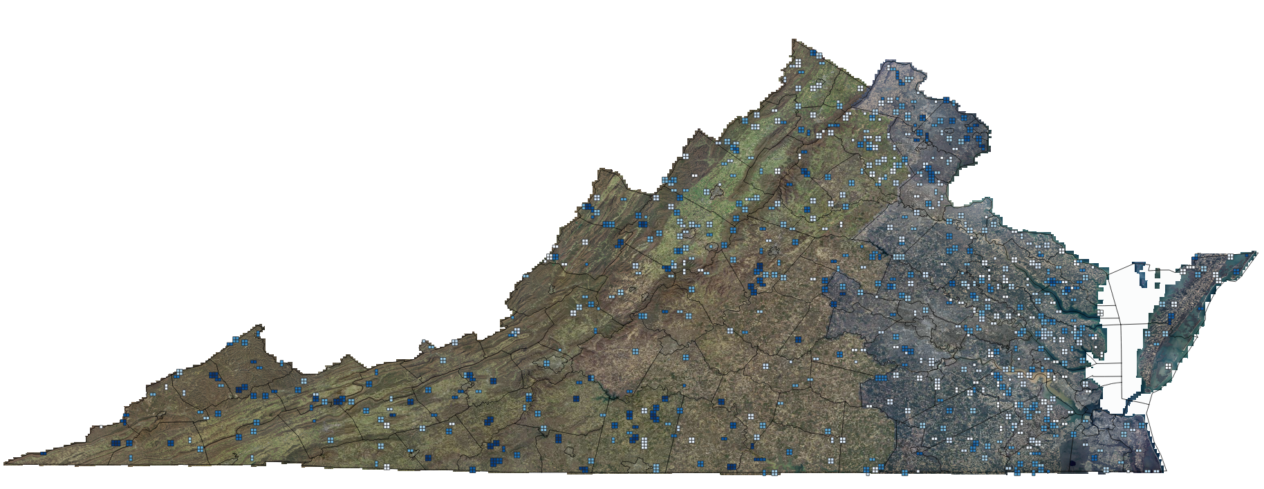
How I’m Training an AI Model to Identify Ground in LiDAR, Part 3
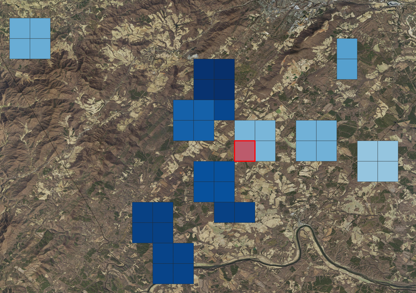
Inside the KPU-Net Workflow, Part 3 When Training Breaks, Lies, and Teaches You What Actually Matters In the prior post, I walked through the early stages of training an AI model to identify ground points in LiDAR across Virginia. The pipeline was running, the model was learning, and the metrics were moving in what looked … Read more