
Turning drone data into survey deliverables takes more than just flying a mission. As someone who supports licensed surveyors on real-world engineering and land development projects every week, I handle everything from proposal to post-processing. In this post, I’ll walk you through exactly how I go from flight planning to handing off polished files and why our workflow produces reliable results from drone data to survey deliverables.
Proposal Request and Flight Planning
Most of our projects start with a request for proposal, typically with project extents provided in KML (Google Earth), DWG (Autodesk) or SHP (Esri) format. Once I receive the project scope, I:
- Airspace Analysis
- Review the extents and existing control
- Plan initial flight blocks and ground control layout for LiDAR and photo mapping
- Estimate mobilization, setting/locating control, flight time, and post-processing needs
- Price the job and submit the bid
This stage sets the tone, we’ve already started thinking through logistics, access, airspace, and control strategy before a drone ever leaves the case. This really is the most important part for the budget and in reality making profit.
Mobilizing and Flying the Site
Once we’re awarded the project and receive the Notice to Proceed, I finalize the flight plan and coordinate fieldwork. That includes:
- Verifying airspace
- Confirming control layout and any GNSS base station setups
- Creating the official flight blocks and checklist
We then mobilize to the field. My typical field kit includes the Freefly Alta X and DJI Matrice 4 E depending on the job. Whether I’m flying a 50-acre school site or a 1,000-acre solar farm, we treat every job with the same precision and uniqueness the project demands.
Post-Processing
Once the data is collected, I handle all the post-processing workflows. For photo mapping missions, I run the imagery through Pix4Dmapper using RTK data and verify results against our ground control. For LiDAR missions, we process trajectories, apply georeferencing, and generate the point cloud.
Each dataset, whether it’s a high-resolution orthomosaic or a LiDAR point cloud, is quality checked before moving to the next stage. We make accuracy reports that live with the project which clearly show the quality of the data.
If anything seems off, we may reprocess or worst case scenario re-fly, but most of the time, things go right because our planning was tight.
Surface Generation and Drafting
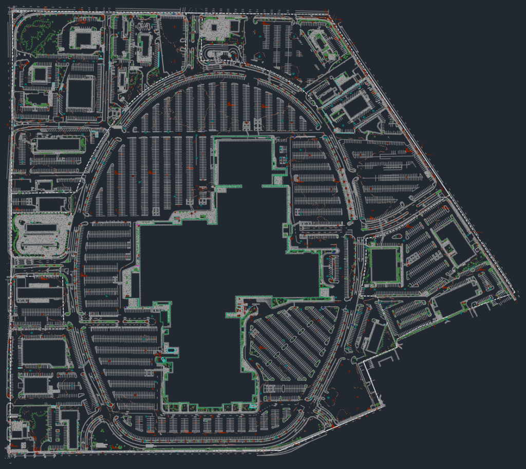
Once the orthomosaic and point cloud are verified, they flow into our drafting pipeline. That includes:
- Bare earth extraction from the LiDAR point cloud
- DSM or surface model generation
- 2D planimetric linework drafted manually from the orthomosaic
After drafting, we run a final round of QA/QC to ensure everything aligns with the project specs and client expectations. Then we package and deliver — usually in DWG, SHP, or TIF formats, depending on the end use.
All of this work is done under the direct supervision of licensed survey professionals, even though the actual drafting and processing is handled by our technical staff.
Why Our Workflow Works
What makes our workflow stand out? It’s the consistency and attention to detail. We don’t skip steps, and we use more ground control than most — because it lets us sleep well at night. This industry doesn’t offer many second chances, and clients remember mistakes. Our drone data doesn’t just look good; it holds up when it counts.
Need help turning drone data into reliable, survey-ready deliverables? I fly weekly missions for engineering and land development teams through a licensed survey firm. Let’s talk scope — contact me here.