When most people think of drone mapping or mobile data collection, they imagine orthomosaics, point clouds, or LiDAR. But sometimes, the most valuable deliverable is visual: 360 imagery for public asset management.
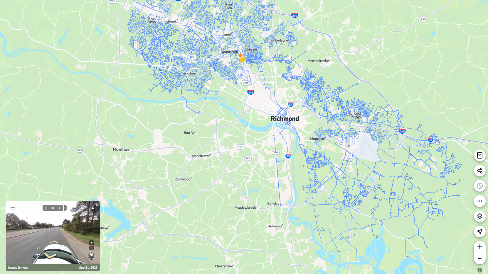
We use high-density 360 capture to support local governments and engineering teams with asset extraction, pavement documentation, and rights-of-way inventories. It’s a fast, scalable alternative to traditional inspection methods. To date, our team has collected over 980,000 georeferenced images across projects throughout the United States, including full county systems and long corridor stretches.
This post explains how we use 360 imagery for public asset management to support infrastructure planning, what these datasets can deliver, and how they fit into engineering and public works workflows.FHWA: Asset Management Overview
What We Collect and Why It Matters
Our 360 image collection documents roadway environments at street level. It includes:
- Road surfaces
- Signage and pavement markings
- Guardrails and roadside features
- ADA infrastructure such as curb ramps
- Utility poles, fire hydrants, and related assets
Each image is georeferenced and timestamped, which allows for structured asset extraction, condition scoring, and documentation of field conditions. This imagery is often used by engineers, GIS teams, or planners to support infrastructure planning and capital improvement efforts without needing to send staff on-site. (FHWA: Asset Management Overview)
Scalable 360 Imagery for Public Asset Management
We’ve supported municipalities and civil engineering teams across the country with mobile 360 imagery collection. In many cases, our teams have captured entire county roadway networks during a single mobilization, helping local governments build accurate asset inventories for long-term use.
Our mobile collection system is lightweight and vehicle-mounted, which means there is no need for permanent vehicle integration or expensive sensor rigs. This makes it ideal for:
- Municipalities without mobile mapping staff or platforms
- Counties in need of visual data to support grant applications or funding requests
- Civil engineering firms needing fast-turn visual data to supplement survey or LiDAR deliverables
How counties are modernizing infrastructure documentation from NACO
How the Data Is Used
The imagery we collect supports a wide range of deliverables. These include:
- Asset extraction into GIS or CAD systems
- Pavement condition evaluation or scoring
- Documentation for resurfacing or repair justification
- Visual QA for drone or LiDAR mapping data
We often pair 360 imagery with our aerial LiDAR or photogrammetry work. Together, these datasets offer a complete view of conditions from above and at ground level.
Supporting GIS, Engineers, and Public Works Staff
If you work in civil engineering, GIS, planning, or public works, 360 imagery provides real value. It improves communication across departments, supports defensible budgeting, and reduces the need for field visits or windshield surveys.
We handle planning, collection, and data integration. You receive high-quality, geo-referenced imagery that supports real decision-making.
If your city or firm is planning an asset inventory, condition survey, or pavement management project, reach out to explore how we can support your goals.