I use RTK drone mapping every week to support engineering and land development survey projects. It’s fast, accurate, and efficient however I still use ground control on almost every project. RTK drone mapping is often marketed as a GCP-free workflow. And while that’s technically possible, it’s not how I operate. In this post, I’ll share why ground control with RTK drone mapping is still essential in real-world workflows, how it has saved me from silent failures, and what engineers and survey teams should consider before flying without it.
This post breaks down why I choose to do it this way — what I gain from it, what it protects me from, and why it helps me sleep better at night. Drone mapping is easy to do fast. It’s much harder to do right.
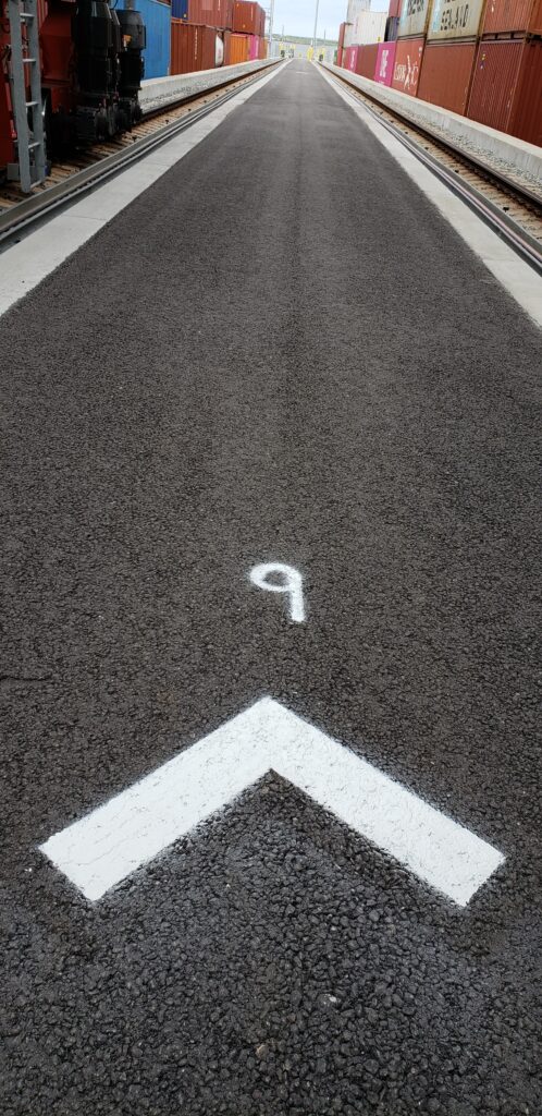
RTK Mapping Isn’t Magic
RTK, especially when using a local base on a known point corrections or NTRIP via network RTK, can produce excellent results. In theory, it enables centimeter-level accuracy in real time. But theory doesn’t always hold up in the real world and RTK doesn’t always tell you when something went wrong. That’s why I still use ground control with RTK drone mapping, I may use a little less than the pre-RTK mapping days, but still in enough places to verify accuracy and catch hidden issues.
Here are a few things I’ve experienced:
- RTK lock dropped during part of a flight with no clear indication
- An incorrect antenna height or offset was entered in the base
- NTRIP corrections cut out due to weak cellular coverage
- GNSS metadata and image timestamps were misaligned
In each case, I could have finished the job thinking everything went smoothly — but it wasn’t until I cross-checked with control that I knew something had gone sideways.
RTK is powerful. But it’s not a safety net. And without ground control, there’s no way to independently verify accuracy. If you’re new to how RTK works, this article from GPS World gives a solid overview of the technology behind it.
Ground Control Is My Safety Net
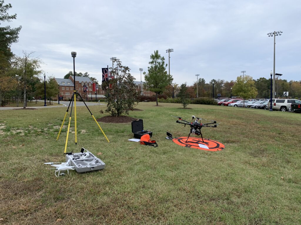
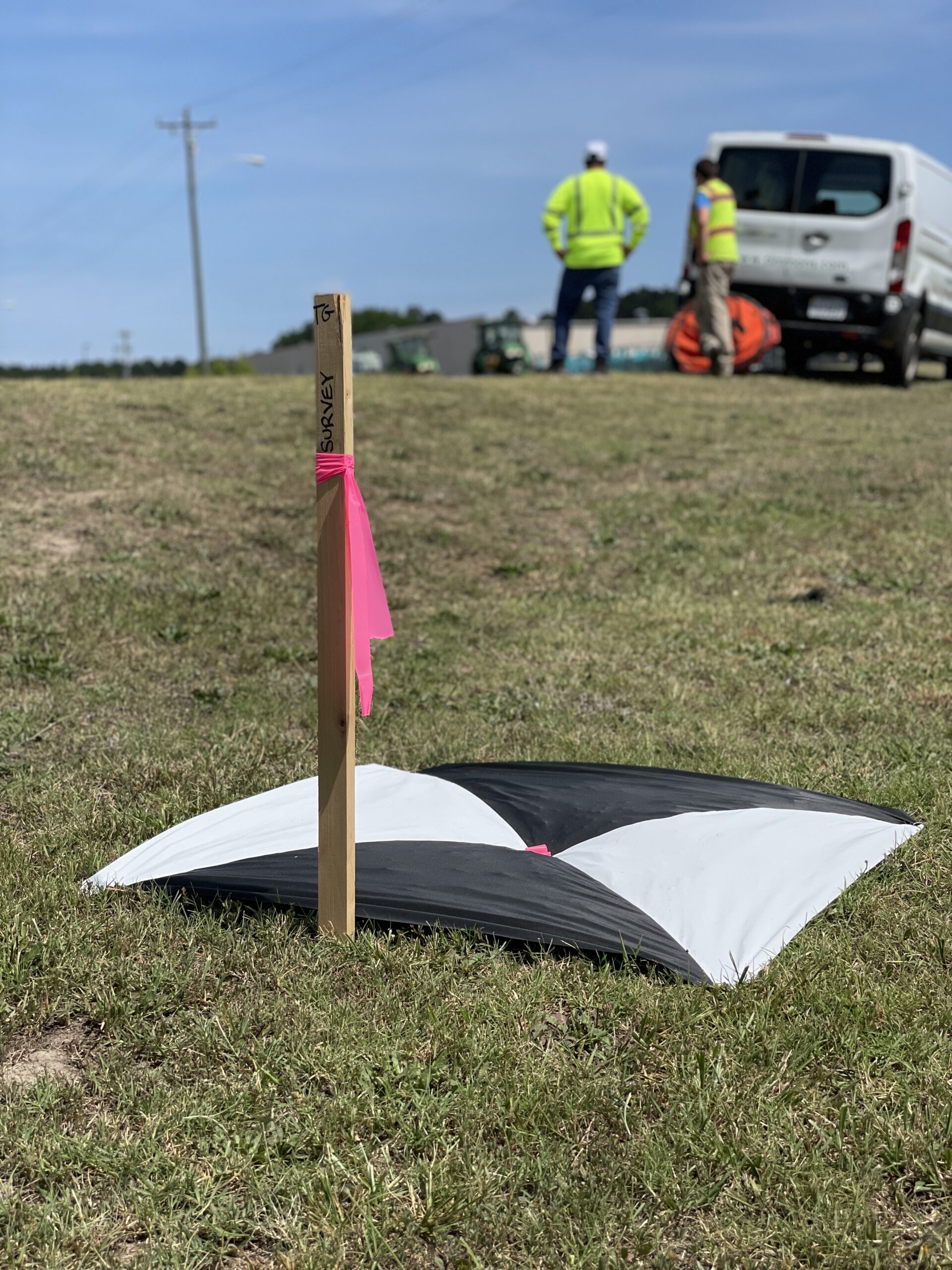
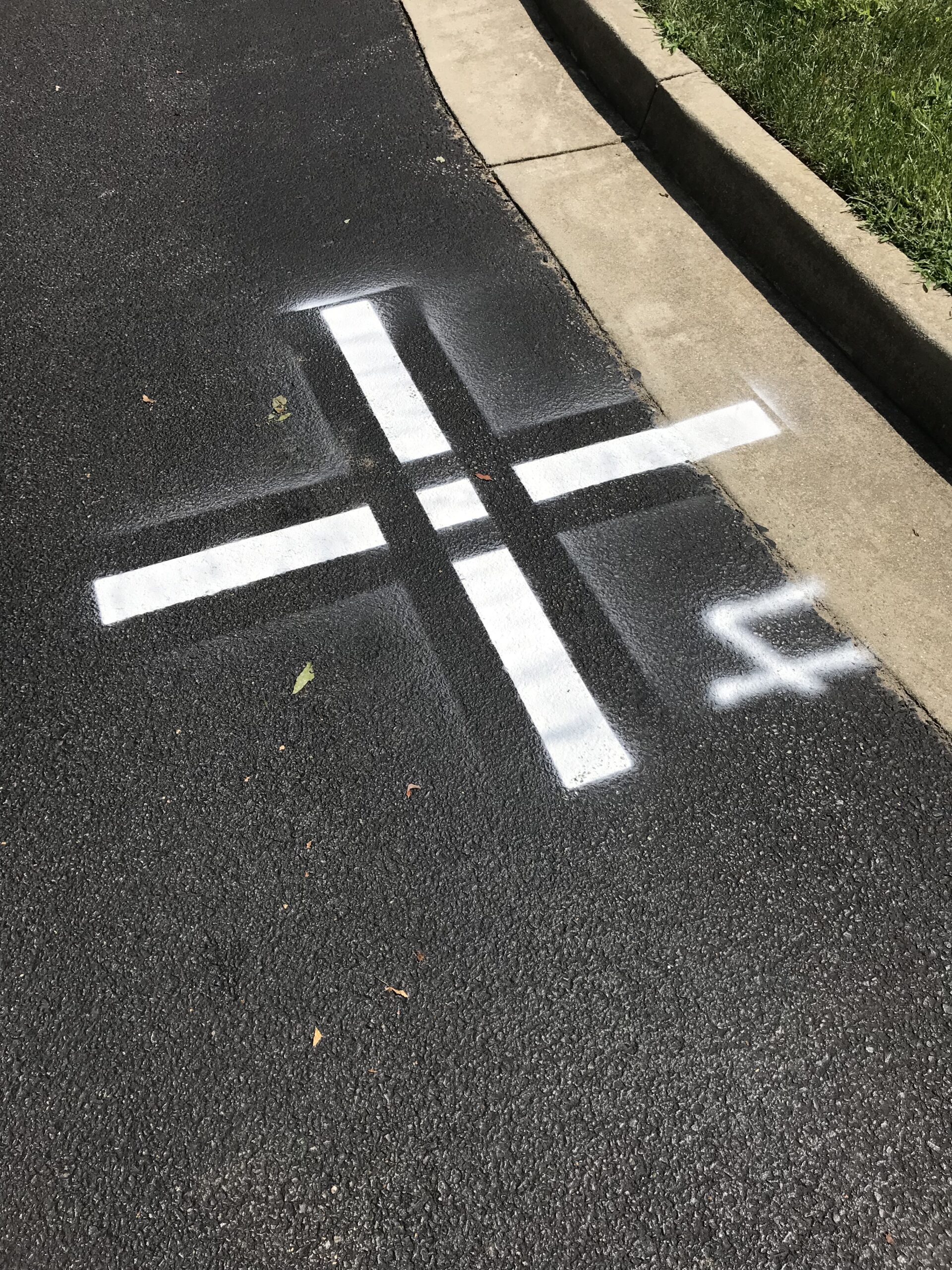
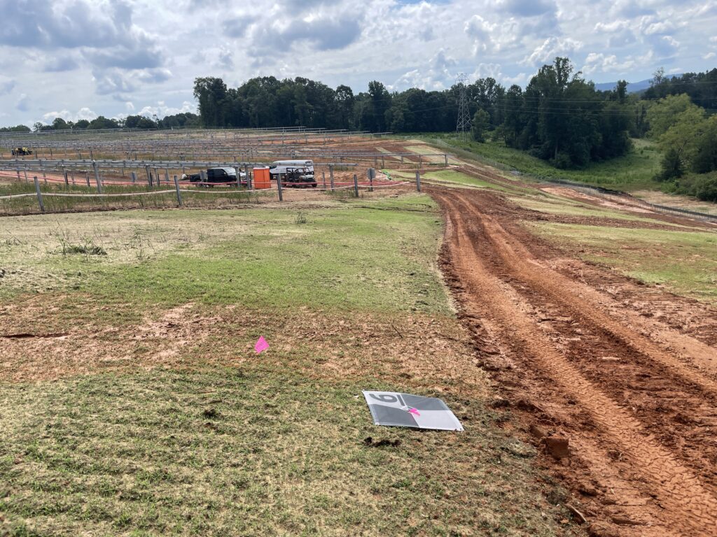
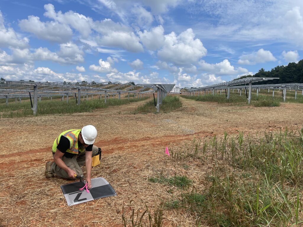
Even when flying RTK, I still put down surveyed ground control points on most jobs. Not because I don’t trust the tech, I am a geek at heart with an IT Software Engineering background, but because I trust the data more when I can check it against something I know is accurate.
Here’s why GCPs matter to me:
- They provide a fixed reference to validate accuracy
- They let me quantify horizontal and vertical error after the fact
- They allow repeatability and reliability if I need to revisit or reprocess
- They give the licensed professionals I support real confidence in the deliverable
I usually take a hybrid approach — using RTK to streamline the workflow, but laying out GCPs to keep myself honest. It’s not about slowing things down. It’s about making sure I’m delivering something I can stand behind — especially when it’s going to be used for design, permitting, or construction.
When I Might Skip GCPs (And Why I Rarely Do)
There are rare cases where I’ll skip full control — but I do it with caution, and usually with checkpoints:
- When the site is unsafe or physically impossible to access
- When the deliverable doesn’t require survey-grade accuracy (like a 3D visualization or GIS project)
- When the client signs off on a reduced-control workflow with clearly defined tolerances
Even in those situations, I try to set at least a few checkpoints to test against. Because more often than not, you won’t know something is off until someone tries to overlay your dataset in CAD — and then it’s your phone that rings.
Real-World Accuracy Isn’t a Spec Sheet
Marketing materials love to promise “2 to 3 centimeter accuracy” with RTK, and yes, that’s possible. Most of my projects aren’t happening in ideal conditions or test environments. The vast majority of the time the RTK data is in tolerance, but you just never know when it will not be.
Even with solid RTK, small issues can quickly compound. A brief correction loss, a mistyped antenna height, or a poor time sync can easily throw off a dataset. Human error is real and sometimes it can be difficult to do an autopsy to determine what is wrong.
And sometimes, the problem isn’t local at all. I once flew during a period of heightened solar activity. A major solar flare had occurred prior to the mission and the KP index was elevated. While the drone showed RTK lock throughout the flight, the post-mission analysis revealed degraded GNSS signal quality. Most of the GPS observations were unusable with abnormal scale factors. Without ground control in place, I would have had no idea the data was compromised. YNOAA publishes daily space weather alerts and GNSS impact forecasts, which I check before any mission.
These types of risks are invisible in real time. RTK might say everything is fine. But unless you validate it, you’re just hoping. That’s why I rely on control, it tells me what actually happened, not what the drone thinks happened.
Trust, Verify, and Sleep Better
I rely on RTK every day. It’s efficient, powerful, and very accurate most of the time. But drone mapping is an unforgiving field. One wrong dataset can cause real downstream problems, and this industry tends to have a long memory.
Using ground control gives me a second set of eyes. It gives me something to check my work against. It helps me deliver data that engineers and surveyors can trust because I can prove it.
Even when everything looks like it’s working, problems can slip through. Recently SmartNet had a major outage and we did not have access to network RTK for a few days. Sometimes they come from the equipment, the environment, or even solar weather.
Using ground control is how I safeguard my work. It lets me verify what happened, catch hidden issues, and sleep better at night.
If you’re working in GNSS-restricted environments or unsure whether RTK alone will meet your project’s accuracy requirements, feel free to ask me a workflow question or explore the NOAA GNSS Forecast Tools.
Need drone mapping support you can trust?
II fly real missions every week, supporting engineering and land development projects through a licensed survey firm; delivering accurate data teams can trust. If you’re looking for help collecting aerial LiDAR, photo mapping, or mobile data for your next project, Let’s talk scope.
No hype. No sales pitch. Just real-world drone mapping, delivered right.